Chart
Street Property Data
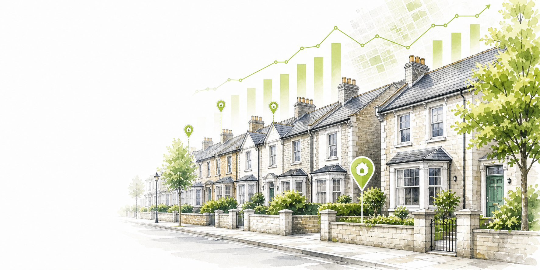
Rhoshendre SY23 Sold Prices & Property Data
View sold house prices, recent transactions, property mix, and local context for Rhoshendre, SY23.
Rhoshendre is a street in the SY23 postcode district. This page brings together recorded Land Registry sales, local price trends, property types, nearby crime trends and deprivation context to give a clearer view of the local property market.
Street Snapshot
Rhoshendre at a glance
Only metrics with enough underlying data are shown here.
Total recorded sales
133
Average sale price
£172,373
Median sale price
£185,000
Latest sale date
30 Sep 2025
Highest recorded sale
£350,000
Most common property type
Semi-detached
Deprivation band
Decile 10 / 10
Crime level
Crime is down 14.9% over the past year, driven by increases in vehicle crime and offset by decreases in drugs.
Comparison
Rhoshendre compared with SY23
Street-level figures are compared against the full postcode district using recorded Land Registry sales.
| Metric | Rhoshendre | SY23 |
|---|---|---|
| Average sale price | £172,373 | £161,924 |
| Median sale price | £185,000 | £150,000 |
| Sales count | 133 | 10390 |
| Most common property type | Semi-detached | Detached |
Chart
Yearly sales count
Crime trends near Rhoshendre, SY23
ImprovingCrime is down 14.9% over the past year, driven by increases in vehicle crime and offset by decreases in drugs.
Compared with the previous 12 months, based on reported crimes within roughly 500 metres of this street centroid.
Monthly crime volume over the last 24 months
Peaks indicate higher reported crime periods.
Latest: 86 crimes
Overall change
-14.9%
Rising most
Vehicle crime
85.7% (low volume)
Falling most
Drugs
-45.3%
Crime profile for this street area
| Crime type | Total | % | 12m change |
|---|---|---|---|
| Violence and sexual offences | 437 | 40.3% | -7.8% |
| Anti-social behaviour | 139 | 12.8% | -13.7% |
| Public order | 98 | 9% | -21.6% |
| Shoplifting | 96 | 8.9% | -7.7% |
| Criminal damage and arson | 90 | 8.3% | -17.4% |
| Drugs | 88 | 8.1% | -45.3% |
| Other theft | 69 | 6.4% | +1.5% |
| Burglary | 40 | 3.7% | 0% |
| Other crime | 14 | 1.3% | -36.4% |
| Vehicle crime | 13 | 1.2% | +85.7% |
Closest deprivation area for this street
Faenor 1
(W01000525)
This is the nearest mapped LSOA to the street centroid, so it provides area context rather than street-specific deprivation.
Decile
10 / 10
Rank
1,875 / 1,909
Full details
Nearest postcode anchor: SY23 3PU
Closest LSOA map context
Loading map...
FAQ
Questions about Rhoshendre
What is the average house price on Rhoshendre?
The average recorded sale price on Rhoshendre, SY23 is £172,373 based on 133 sales.
How many properties have sold on Rhoshendre?
Rhoshendre recorded 133 Category A sales in the current street dataset for SY23.
What types of properties sell on Rhoshendre?
The most common recorded property type on Rhoshendre, SY23 is Semi-detached.
How does Rhoshendre compare with SY23?
Rhoshendre has an average sale price of £172,373 versus £161,924 across SY23 overall.
Internal Links
Nearby streets in SY23
Recent Sales
Recent property sales on Rhoshendre
These recorded sales are shown as crawlable HTML and link through to the matching property page where a slug is available.
Showing 126 to 133 of 133 sales