Welsh Index of Multiple Deprivation
This page shows deprivation information for the Welsh Data Zone W01001902 (postcode LD3 9AX) . The WIMD ranks 1 (most deprived) to 1909 (least deprived). Deprivation indexes are infrequent, it may be several years before an update is available.
Decile colours: 1–3 higher deprivation · 4–7 mid · 8–10 lower deprivation.
Overall Position
Rank 515 out of 1,909 data zones in Wales.
Decile: 3 top 27% most deprivedData Zone Information
Local authority: Powys
LSOA name: St. John 2
LSOA code: W01001902
Postcode: LD3 9AX
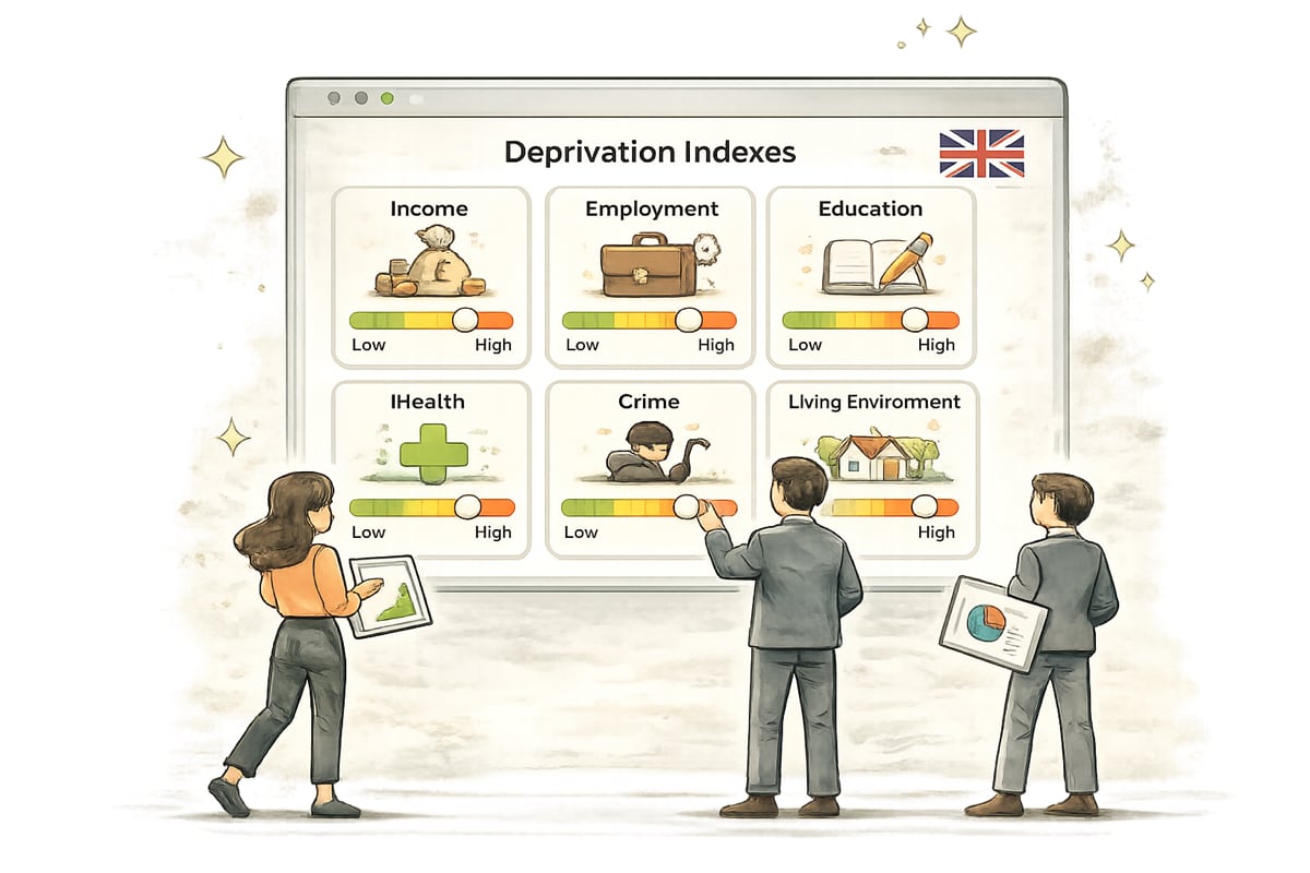
Domain Breakdown for W01001902 (postcode LD3 9AX)
Income
Rank: 556 out of 1,909
Measures deprivation due to low income, including people receiving income-related benefits and tax credits.
Employment
Rank: 436 out of 1,909
Captures involuntary exclusion from the labour market, such as unemployment, long‑term sickness, disability, or caring responsibilities.
Health
Rank: 474 out of 1,909
Indicates risk of premature death and reduced quality of life due to illness, disability, or mental health conditions.
Education
Rank: 437 out of 1,909
Reflects educational attainment and skills in children and adults, including school results, qualifications, and access to higher education.
Access to Services
Rank: 338 out of 1,909
Physical and financial access to suitable essential services: distance to GPs, schools, shops and post offices.
Housing
Rank: 1,520 out of 1,909
Assesses access to suitable housing and essential services, including affordability, overcrowding, and distance to key services.
Community Safety
Rank: 867 out of 1,909
Measures risk of personal and material victimisation, including violence, burglary, theft, and criminal damage.
Physical Environment
Rank: 1,812 out of 1,909
Covers quality of the local environment, including housing condition, air quality, pollution, and road traffic incidents.