August 20, 2025
Source: ONSPD dataset for matching postcodes to location
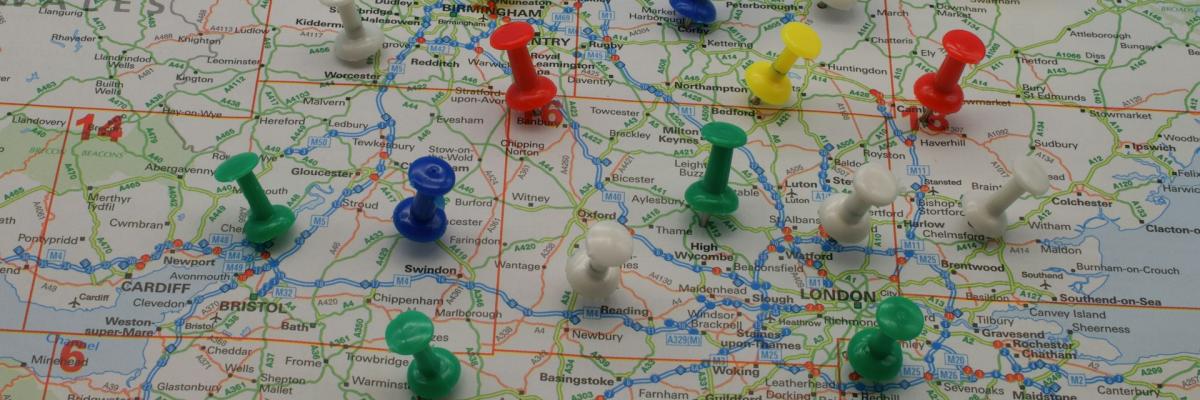
In order to get granular detail down to a Ward level a mapping table is required. There are caveats though!
Some tables only provide so much data, postcode, LAD (Local Authority District) code and so on. Most open government data does not rely on names but GSS codes so it's better to use those as a reference. The dataset required is ONSPD.
The dataset required for this can be found here.
https://geoportal.statistics.gov.uk/datasets/295e076b89b542e497e05632706ab429/about
It's a chunky file at 1.44GB currently. However, depending on your needs, you may not need all fields, so you can cut the file down.
The file contains
Postcode
oa21cd - Output Area
lsoa21cd - Lower Super Output A...
This article is free for registered users.
Log in or register to continue reading the full article.

Lee Wisener CeMAP, CeRER, CeFAP, CSME
I am the owner of this site. If there is anything wrong, it's on me! If you want to get in touch, please email me at [email protected]. The site has grown so quickly, I honestly didnt expect the interest or the support, so thank you to everyone who has dropped me a line. More is coming, and I am spending time making it simpler, easier to understand, and also updating it regularly.


Comments (0)
Want to comment on this page? Login or Register.